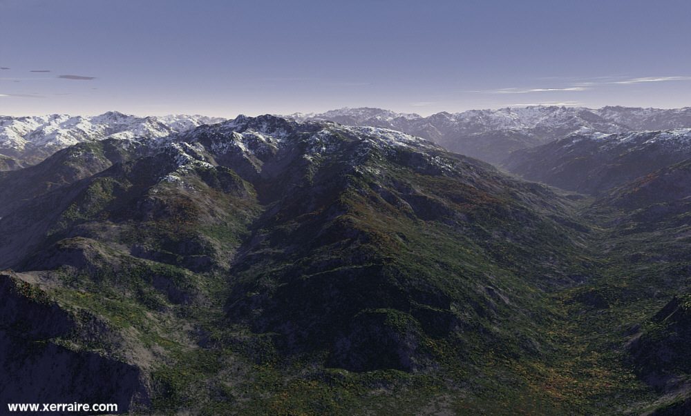
The Pyrenees
The
chain extends in an almost straight line 270 mi (435 km) from the Bay of Biscay
on the west to the Mediterranean Sea on the east;
its maximum width is c.80 mi (130 km). About two thirds of its area is in
Spain. Of the three main ranges of the Pyrenees, the central
section is the highest. The Pico de Aneto, Spain (11,168 ft/3,404 m), is the
tallest peak.
Exposed crystalline rock is found in the uplands, while folded limestone composes
the lower slopes.
Glaciated in the distant past, the Pyrenees do not have any glaciers now.
The permanent snowline is at an elevation of c.6,000 ft (1,830 m).

I love the Pyrenees, so I was more than thrilled to see
.ter files posted for them. You can download them too
at
Sylvain Rondi's Pyrenees & Terragen Page » HERE
